


Light propagation through a body of water is a complex process. Professor Paolo Lazzari of the National Institute of Oceanography and Applied Geophysics (Italy) distinguishes three light streams: direct downward component, downward light stream that is already diffused in water, and upward stream of light reflected from the bottom or from particles in water.
Scientists analyze satellite and other data to determine how much light enters the water and how much comes out. Typically, the latter signal is always weaker because many components within the water column scatter and absorb light. Special equations written for this model by Ilya Chernov, Senior Researcher at the Institute of Applied Mathematical Research KarRC RAS calculate from satellite data how much light got "lost" within water depths. The coefficients used in this mathematical system indicate which specific particles have retained the light and in what quantities.
– To put it simply, a satellite sees a dark patch. People or algorithms make an inference: this could be oil, plankton, sand, and so on. The tools we use are mathematical and physical computations. After adjusting the coefficients so that the calculated signal matches the observed one, we can state that the dark patch is generated by specific particles of a certain size at a known depth. This approach helps describe in detail what is happening in the sea, producing data based on calculations rather than mere assumptions, – explained Doctor of Technical Sciences Ilya Chernov.

Ilya Chernov, Senior Researcher, Institute of Applied Mathematical Research KarRC RAS. Photo: Victoria Shvetsova / KarRC RAS Science Communication Office
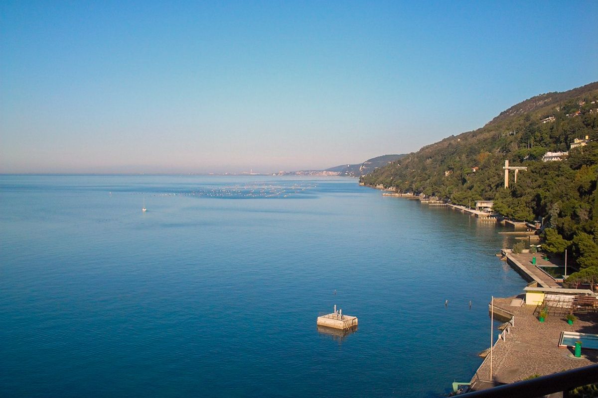
The scientists have tested the three-stream model in application to the Mediterranean Sea. They established a BOUSSOLE site, where an autonomous fixed buoy was deployed, sampling bio-optical parameters every 15 minutes. Also, monthly cruises were conducted for bio-optical parameter sampling. The components tested included the concentration of chlorophyll-a and colored dissolved organic matter in water. The model's output proved comparable to data obtained from physical sensors.
– It's impossible to have sensors covering the water areas of all seas, so satellites offer a solution. Using remote sensing data and mathematical calculations, we can obtain information on the state of the marine system over an extensive area, – noted the Karelian scientist.
Experts emphasize however that when evaluating the system's performance, it is necessary to consider the specific behaviors of bio-optical and physical parameters in different ecological regions.
"The sensitivity experiments show the impact of parameter perturbations at the BOUSSOLE site, but it would be important to further evaluate how this approach works in other areas where phytoplankton optical parameters could be very different: different pigment compositions could influence absorption, or different size distributions could influence the spectral shape of the backscattering coefficient", – states the conclusion of the scientific paper.
The authors would be interested in conducting a similar study for Arctic ecosystems, particularly in the White Sea. Mathematician Ilya Chernov from Karelia and biogeochemist Paolo Lazzari from Italy have been actively collaborating for ten years, developing the JASMINE mathematical model, which describes water and ice dynamics in the White Sea.
