

Large igneous provinces (LIPs) emerged as a result of massive but short basaltic lava effusion episodes on continents. They were triggered by high-temperature mantle plumes rising from the core-mantle interface. Such events usually precede continental rifting. Studies of LIPs helps researchers reconstruct the supercontinents that used to exist on the Earth billions of years ago. One of the best known supercontinent, Pangaea, was reconstructed using, i.a., data on large igneous provinces.
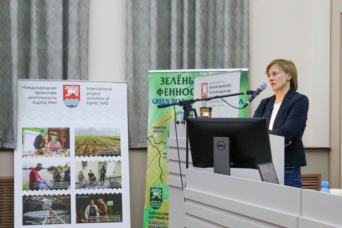
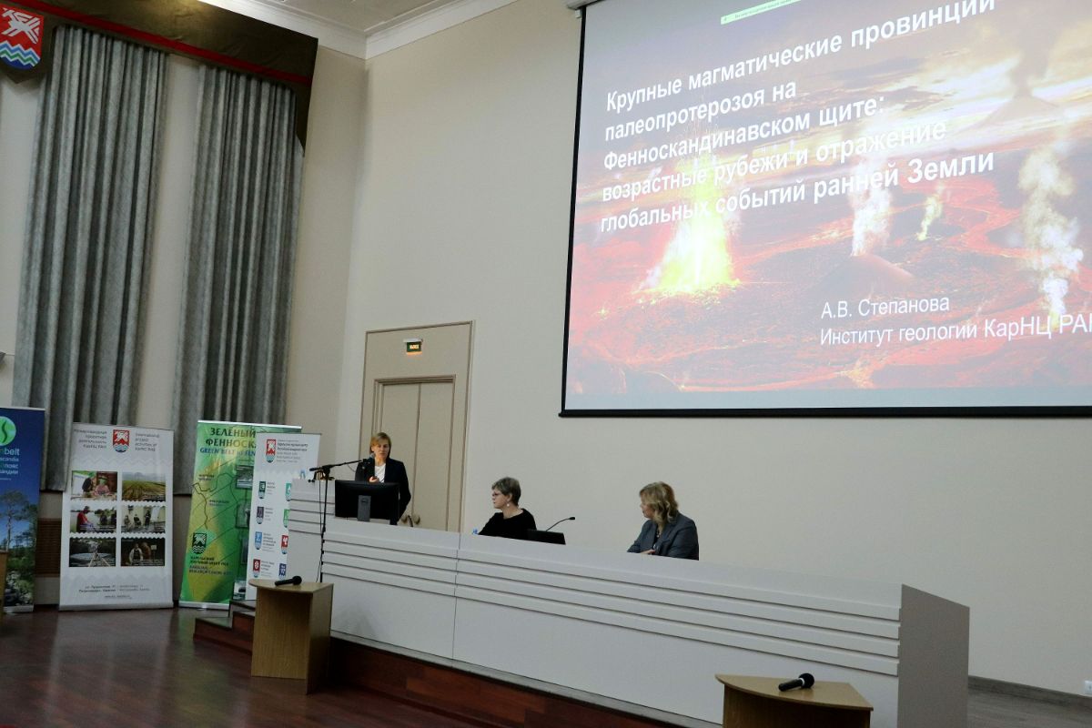
“Large igneous provinces often prove to be the key element of the “Archean puzzle” that many of us are working to solve”, – Alexandra Stepanova remarked.

Studying early LIPs is a challenge: they have been heavily transformed and fragmented in the course of more than two billion years. They can be reconstructed by studying mafic dykes – long and narrow bodies filled with solidified melt that was rising through rifts and fractures to the Earth’s surface billions of years ago.
– Researchers globally have done a great deal of work. They proved that large igneous provinces and swarms of igneous dykes within them already existed 3.5 Ga BP. As a result, worldwide dyke barcoding was generated, the formation sequence of LIPs and their connection with the formation of continents were determined. Although lots of new data have become available, certain questions remain debatable, such as the mutual arrangement of continental crust blocks and, in particular, the position of the Baltic Shield among other Precambrian continents, – the scientist explained.
Alexandra Stepanova and her colleagues study mafic dykes of the Baltic Shield. In recent years, the researchers have gained important data on some objects in the Belomorian, Karelian, Kola, and Murmansk tectonic provinces.
– Each object was studied by a combination of methods, including geological mapping, petrographic analysis, study of the composition of minerals, chemical composition and content of major and trace elements, isotope composition, etc. The characteristics of primary melts were thus determined and their formation environments were assessed. It follows from the results of the study that 2.4 Ga BP the Baltic Shield comprised a large igneous province covering over 500 million square kilometers, – Alexandra Stepanova shared.
The similarity of the magmatic evolution across the tectonic provinces of the Baltic Shield in the 2.5-2.4 Ga BP period suggests they all belonged to the same lithosphere block and were parts of the ancient Kenorland supercontinent. It had formed around 2.7 Ga BP and existed at least until 2.4 Ga BP. Unlike its age, the configuration of the continent is not yet definitely known and is debated among scientists.
One the other hand, the differences detected in the later magmatic history of the Karelian-Belomorian and Kola-Murmansk continental blocks (2.3–2.1 Ga BP) are regarded as indicators of the breakup of the Kenorland supercontinent. Later on, its fragments were reassembled into a new supercontinent, Columbia (or Nuna) – the second known supercontinent in the Earth’s history. “It is then that the arrangement of the continental blocks of the Baltic Shield became roughly as it is now”, – said Alexandra Stepanova in conclusion.
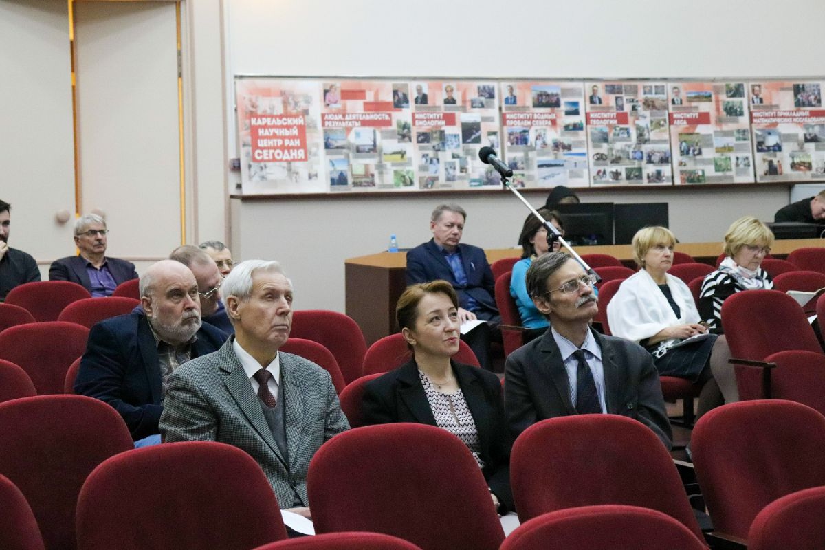
Commenting on his colleague’s presentation, Director of the Institute of Geology KarRC RAS Dr. Sergey Svetov called it the “tip of the iceberg” – the fundamental in-depth work of a team of scientists led by Alexandra Stepanova, which gives ground to claim that a school of thought is forming at the institute. The director also stressed the significance of these studies for world science and for the practice.
– We do this work in order to envisage the potential planetary catastrophes to expect, even if beyond our historical scale. In terms of practical significance, this leads us to the methods of searching for and predicting extractable resources, – Sergey Svetov said.
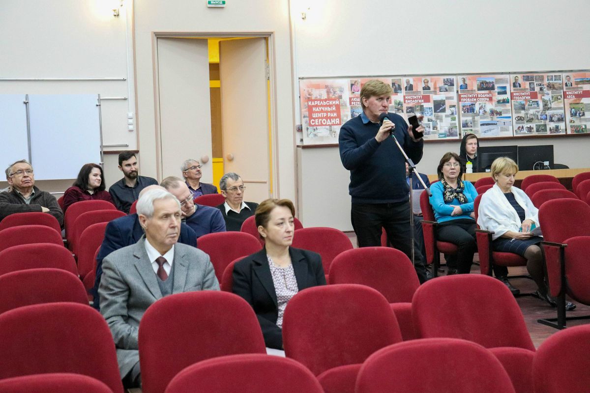
Members of the Learned Council concurred to the scientific and methodological value of the reported studies in the sphere of Precambrian geology and recommended that the results are adapted for communication to the general public.
– We’re speaking of a new exhibition with these materials to be included in the Museum of Precambrian Geology at the Institute of Geology KarRC RAS. These materials must be transformed into popular form and communicated as widely as possible, – KarRC RAS Director General Olga Bakhmet summed up.
The second scientific lecture at the Learned Council meeting on November 29th, “Archaeology and paleogeography of Neolithic – Early Metal sites on the White Sea Karelian Coast” was given by Senior Researcher at the Institute of Linguistics, Literature and History KarRC RAS Nadezhda Lovanova and Senior Researcher at the Institute of Geology KarRC RAS Tatyana Shelekhova. More on the results of their study will soon be published on Karelian Research Centre website.