The activities are carried out within the framework of a key innovation project of national importance "Unified national monitoring system for climate active substances". Karelian Research Center RAS is represented in the action by staff of the Institute of Applied Mathematical Research (IAMR) and Northern Water Problems Institute (NWPI).
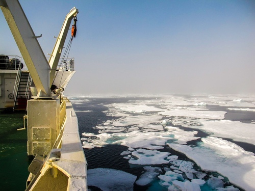
Scientists are creating an integrated digital model of the entire Arctic Ocean with ice and the atmosphere. In particular, it will be able to deliver scenarios of what may happen in the Arctic when a certain climatic factor changes. For example, how ice will melt as the climate continues to warm up.
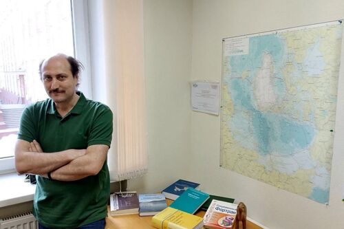
– A numerical model is one way to study the reality. Say, what is going on in the ocean? There are currents, both horizontal and vertical. The water has certain salinity and it has temperature, and they are variable. The sea level fluctuates or changes. Fresh water from rivers flows into the sea, precipitation falls in. Water is set in motion by wind. It evaporates from the surface. Ice forms and melts, and salt is either released into the water or, conversely, the water is desalinated. To calculate all of this is the task for numerical ocean modeling, – explained Senior Researcher at the Laboratory for Natural-Manmade System Modeling, IAMR KarRC RAS Ilya Chernov.

Senior Researcher at the Laboratory for Natural-Manmade System Modeling, IAMR KarRC RAS Ilya Chernov
The work to create the system started in 2022. By then, scientists already had a solid background. The Main Geophysical Observatory has developed and successfully applied the Arctic Ocean atmospheric model. A FEMAO model of the Arctic Ocean with ice was created in Russia in the early 2000s by Dr. Nikolai Yakovlev of the Institute of Numerical Mathematics RAS. Karelian scientists have extensive experience of working with it: since 2011, they have been working on the numerical model of the White Sea JASMINE, having adapted FEMAO to the characteristics of this sea.
– We need to redesign and merge these two models - of the atmosphere and the ocean - so that they can exchange data smoothly. Only then will it be possible to produce reliable forecasts. This is quite a challenge, however. The models are based on different coordinate systems. Besides, the geographical boundaries in them do not match. Right now we are trying to tackle these and other problems, - Ilya Chernov shared.
According to the Head of the Geography and Hydrology Laboratory at NWPI KarRC RAS Aleksey Tolstikov, there are different approaches in geography even to delineating specific seas in the Arctic.
– In the North Atlantic, for example, three seas - the Norwegian Sea, the Greenland Sea, and the Irminger Sea - are often regarded as one (the GIN Sea). We opted to distinguish between them. In general, we have already come to a consensus regarding the specific water areas and the manner of treating them. What comes next is the technical work of drawing the boundaries between the seas. Especially challenging is the simulation of liquid boundaries, where one sea transitions to another, - added Alexey Tolstikov.
A task for the scientist in the project is verification: evaluating how well the simulated data agree with field measurements and with information based on satellite imagery.

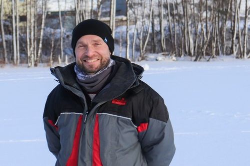
Head of Geography and Hydrology Laboratory at NWPI KarRC RAS Aleksey Tolstikov
– Where there is a mismatch between simulated and measured data, we try to pinpoint the error: sometimes the current dynamics turns out to be higher, other times the boundaries or channelized runoff settings are not quite accurate, or the ice thickness is overestimated. We analyze the reasons for this and work to eliminate the causes and improve the output, - Aleksey Tolstikov explained.
Karelian scientists have already tested this procedure in application to the numerical model of the White Sea. The case has worked out well - the JASMINE system has proved to operate correctly. The scientists have been simultaneously creating a numerical model of the White Sea ice and in November 2022 they checked its performance against satellite observations. The simulated data turned out to be comparable with empirical data.
The final stage of this federal project will be the integration of this model into the structure of seasonal and scenario climate forecasts. This work is essential for the planning and implementation of major investment projects that depend on reliable long-term regional climate change predictions to be successful. Many sectors of the economy also have to adapt to climate change - the modeling system will enable them to take risk factors into account in advance. Finally, numerical models of water bodies help to outline human impact areas and predict the consequences of possible environmental disasters.
Photos by Aleksey Tolstikov, Maria Dmitrieva / KarRC RAS


