


– These are bodies of water that consist of two parts: the freshwater upper part and the saltwater lower part. The reasons for such a division vary, but in the case of the White Sea it is the strong tides and storms that drive seawater into the lake. As a result, the denser saline water sinks down, and the lighter fresh water from streams and precipitation remains on top. The result is a clear stratification of the water column, - tells Maxim Potakhin, Senior Researcher at the Bottom Sediment Research Group of the Northern Water Problems Institute KarRC RAS.
Maxim Potakhin's main research interests include paleogeography, lake morphology and hydrology. He argues that the new objects are noteworthy from the point of view of paleolimnology, a science that studies the history, structure and evolution of lake systems.
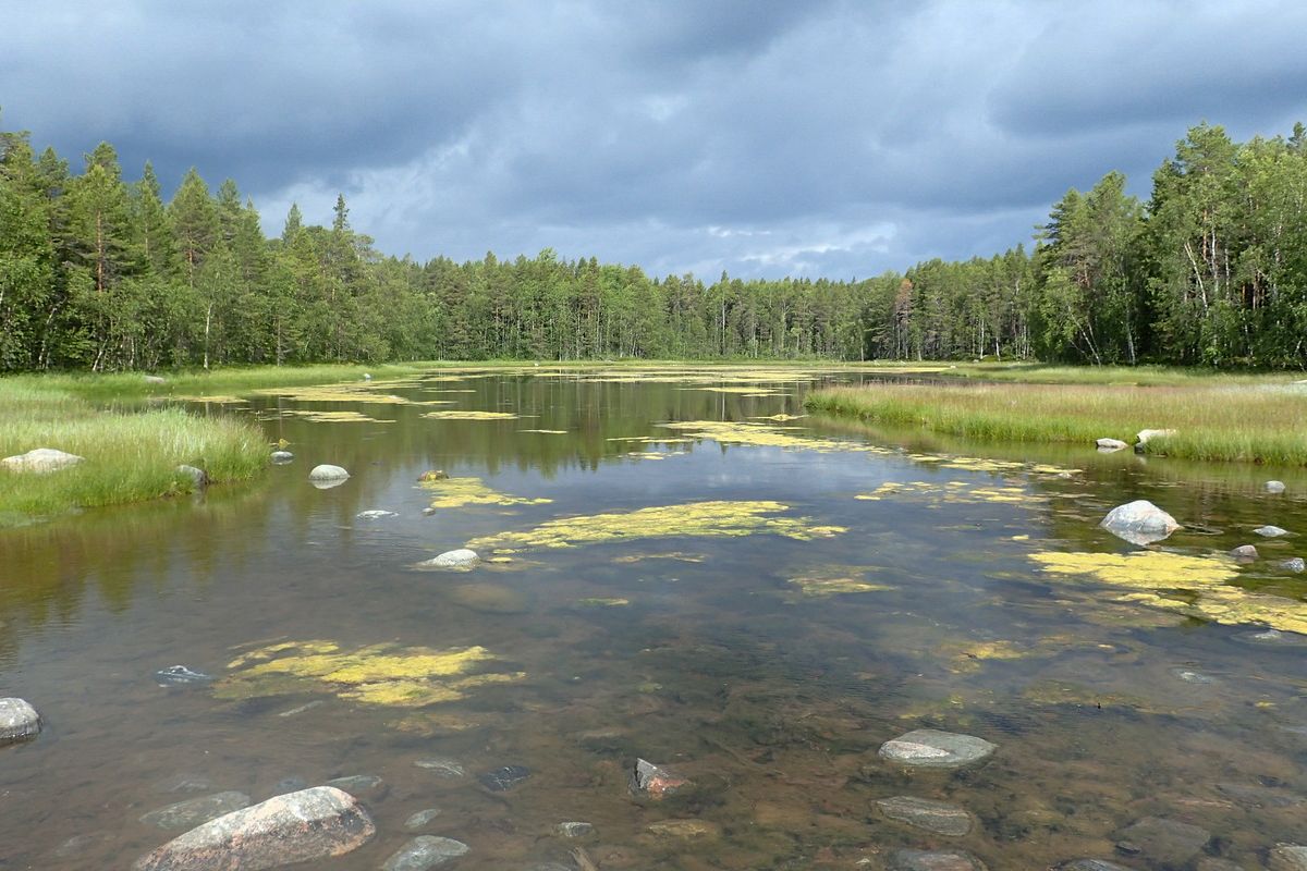
The Karelian Coast of the White Sea is in the process of post-glacial uplift, which in some areas has a rate of up to 40 cm in a century. This causes some bays to become disconnected from the sea. After that they are gradually transformed into fresh water bodies. Meromixia is one of the stages in the evolution of lakes, which we are witnessing.
Scientists have examined some ten water bodies at four key sites - marine lagoons and isolated water bodies, including a classical meromictic Lake Yelovoye and lakes that became desalinated several hundred years ago.
– We've pinpointed many new interesting objects, water bodies in different stages of separation from the White Sea. Lakes on the Karelian Coast are insufficiently studied, which opens up interesting prospects for research. We collected samples in the form of short sediment cores: marine and transitional sediments - at the meromixia and freshwater stages. When in the lab, they will be subjected to geochemical and diatom analysis, and the age of the sediments will be determined, - Maxim Potakhin added.
Studying the samples will help refine data on shoreline displacement, land uplift, and sea recession over hundreds or even thousands of years.

Pavel Ryazantsev, Senior Researcher, Environmental Monitoring and Modeling Laboratory, Department for Multidisciplinary Research KarRC RAS
In addition to paleogeographic studies, scientists investigated a meromictic lake using ground penetrating radar (GPR) survey techniques.
– These lakes are very specific; it takes a whole set of circumstances for them to exist. The biological and hydrochemical features of such reservoirs are fairly well studied, but they have not yet been investigated using integrated hydrophysical methods. In particular, we wanted to apply new approaches to study the transitional layer, the interface between fresh and salt water - the so-called halocline. Is it possible to map it? Is it homogeneous or not? - remarked Pavel Ryazantsev, Senior Researcher at the Environmental Monitoring and Modeling Laboratory of the Department for Multidisciplinary Research KarRC RAS.
Seeking to find answers to these and other questions, scientists carried out certain hydrophysical operations, using, among other things, GPR for radar sounding and CTD sensor, which measures water conductivity, salinity and density. As a result, they demonstrated that the halocline boundary is inhomogeneous. It is consistently located at about a meter depth from the surface, but the salinity varies among areas. The scientists also identified the saltiest area of the lake.
– Our aim is to show how the process of meromixia proceeds. Although it is believed there is no mixing between the fresh and the saline layers in such reservoirs, it turned out there is some minor mixing at the interface, - told Pavel Ryazantsev about the first results of the studies.
The White Sea is one of the main research objects for Karelian specialists in Earth Sciences. Meromictic water bodies are an integral part of its drainage basin, and their study contributes to the overall knowledge of the area.
Photos by M. Potakhin, P. Ryazantsev / KarRC RAS