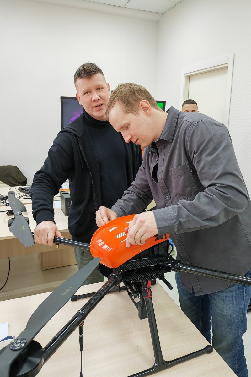


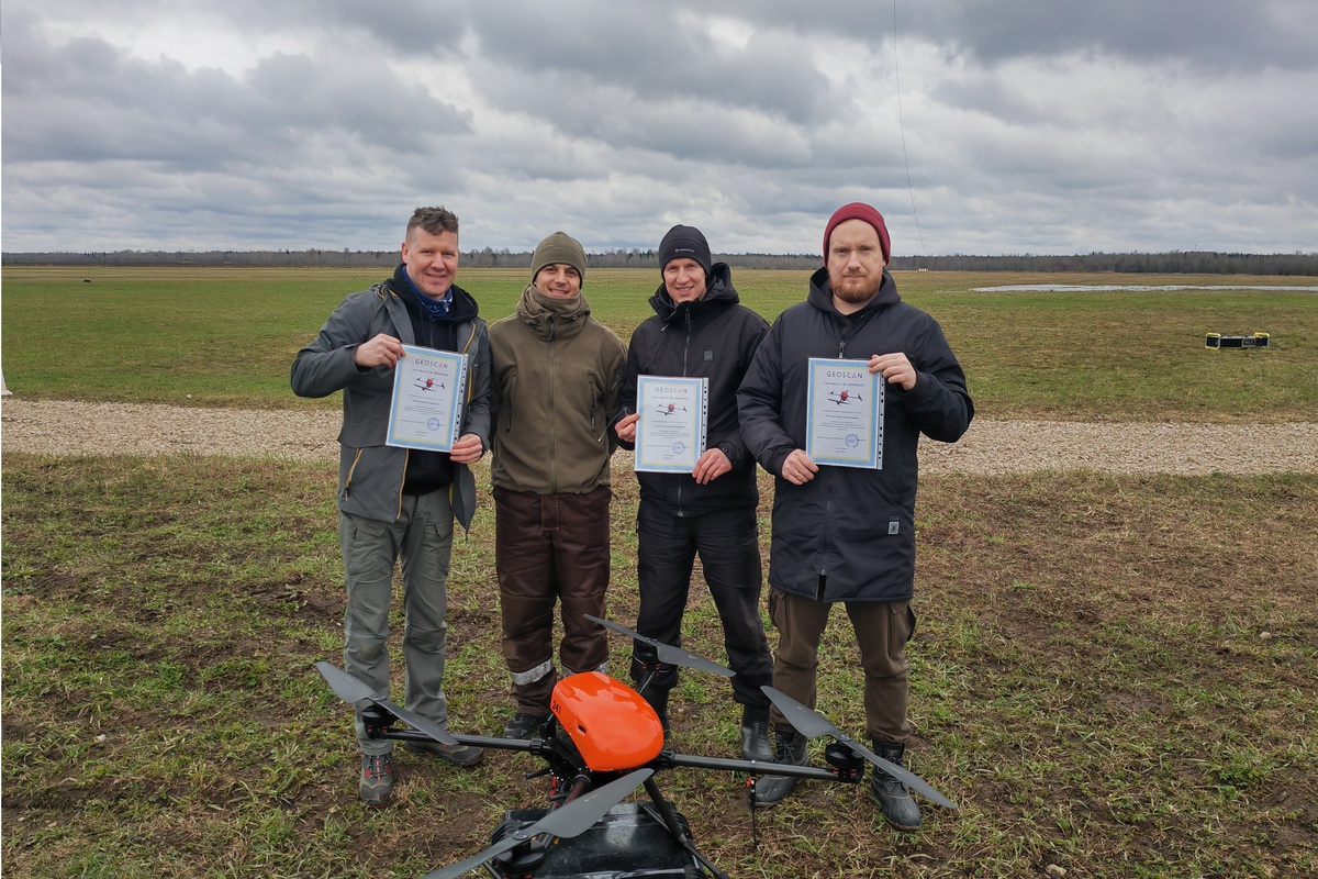
Specialists from the Department for Interdisciplinary Research, Institute of Geology and Forest Research Institute KarRC RAS Pavel Ryazantsev, Yuri Smirnov and Alexander Chirkov learned the basics of operating unmanned aerial vehicles of varying payloads at the Geoscan Group's training ground in the Leningrad Region. The new skills are needed for working with the Geoscan 401 UAV system, which was purchased for the Karelian Research Center RAS. The equipment was acquired under the Science and Universities National Project with additional grant funding, including a Russian Science Foundation project.
The UAV system is equipped with modules for different purposes and will be used to implement tasks in different scientific areas. In addition to a standard high-resolution camera, the equipment set includes: a Pollux multispectral camera for creating vegetation index maps; an AGM-MS laser scanner, which can produce 3D terrain models, even in forest-covered areas; and a quantum magnetometer for recording the magnetic field. These modules permit studying the features of natural landscapes, inventorying forest and agricultural lands, monitoring the dynamics of plant communities, as well as mapping and studying the geological structure of Karelian territory at a new level. The system will be used for monitoring in KarRC RAS carbon testing grounds established in agricultural landscapes and wetland ecosystems.
— With this new equipment, we will be able to meet the latest standards of research work. There are hard-to-reach areas, where fieldwork on the ground is problematic. Aerial surveying will provide an opportunity to collect an extensive dataset on these areas, including protected areas. This creates opportunities for setting up remote monitoring of ecosystems. The resultant aerial images, orthophotomaps and digital terrain models are of high quality, detailed, and georeferenced. So, the same site can be re-surveyed 5 years later and changes in the landscape and vegetation can be accurately monitored, — explained Pavel Ryazantsev, Senior Researcher at the Ecological Monitoring and Modeling Laboratory of the Department for Multidisciplinary Research KarRC RAS.
The first trial flights of the UAV are scheduled to take place this summer at the KarRC RAS Agricultural Research Station in Novaya Vilga and in the wetland testing ground in Kindasovo.
KarRC RAS
in social media


in social media
News
May 7, 2024
KarRC RAS staff trained to operate UAVs
Scientists from the Karelian Research Center RAS mastered the methods of operating unmanned aerial vehicles (UAVs) at the Geoscan Group's training ground in the Leningrad Region. Previously, the equipment for aerial surveys based on the Geoscan 401 vertical takeoff and landing system was purchased for the Karelian Research Center RAS within the framework of the Science and Universities national project with additional grant funding, e.g. from the Russian Science Foundation. The UAV system will be used for vegetation mapping, to identify landscape features and to conduct long-term remote monitoring of northern ecosystems in Karelia and the Murmansk Region, including their protected areas.
Scientists from the Karelian Research Center RAS mastered the methods of operating unmanned aerial vehicles (UAVs) at the Geoscan Group's training ground in the Leningrad Region. Previously, the equipment for aerial surveys based on the Geoscan 401 vertical takeoff and landing system was purchased for the Karelian Research Center RAS within the framework of the Science and Universities national project with additional grant funding, e.g. from the Russian Science Foundation. The UAV system will be used for vegetation mapping, to identify landscape features and to conduct long-term remote monitoring of northern ecosystems in Karelia and the Murmansk Region, including their protected areas.